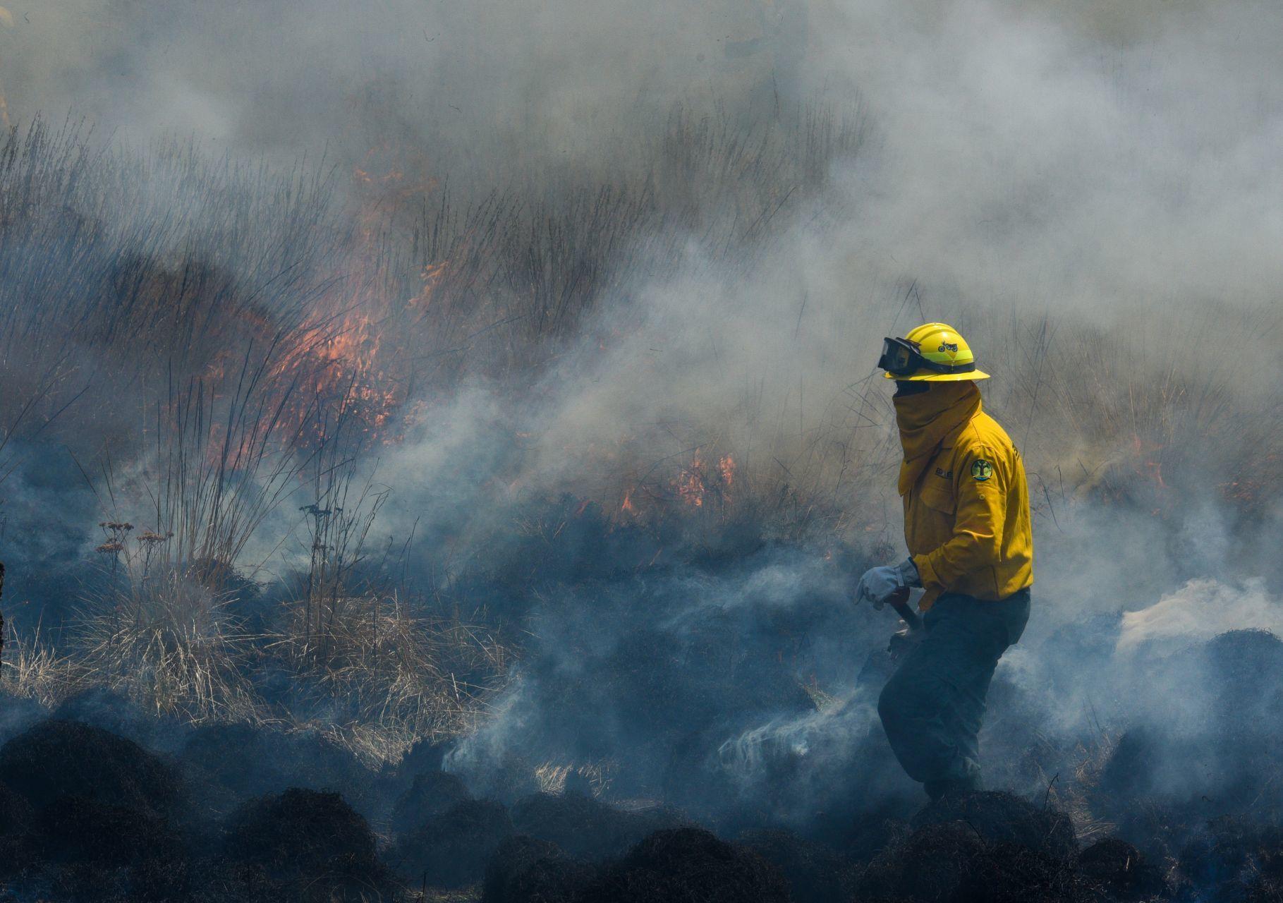
2021 closed as the year with the most hectares burned since 2018. Journalism CN has drawn up a map with the municipalities most affected last year. The list is topped by Pueblo Nuevo, in Durango, with more than 25,850 hectares burned.
The number of hectares burned indicates that in Mexico the municipalities most affected by fires are recurrent.
If we consider the period between 2015 and 2021, Pueblo Nuevo was only surpassed with more hectares burned by Ensenada, Baja California and Madera, Chihuahua.
Last year, 657.113 hectares burned down, an increase of 73% compared to 2020, according to data from the National Forestry Commission (Conafor) via transparency.
The 7,264 fires that occurred last year, according to this database, represent an increase of 22.8% compared to 2020.
It should be noted that the number of hectares offered by the Commission for 2021 is slightly lower than the 660,734.57 hectares recorded in the document of the same institution for statistical closure of 2021.
A report by the United Nations Environment Program (UNEP) released on February 23 noted that extreme forest fires will increase worldwide by 14% in 2030 and 30% by 2050.
“The risk posed by forest fires to people and the environment is increasing due to numerous factors, including, but not limited to, climate change,” the report cites. Other factors include biological, meteorological, physical and social interactions that affect lifestyles.
In Mexico, between 2015 and 2021, the flames spread over 3 million 245,556 hectares, slightly larger than the size of the state of Guanajuato.
The states most affected by fires in Mexico in those six years are Jalisco, Chihuahua, Sonora, Durango, Guerrero, Baja California, Oaxaca, Nayarit, Chiapas and Michoacán.
Together, these entities represent 76% of the hectares burned in the period from 2015 to 2021.
Protected Natural Areas
The Protected Natural Area (ANP) with the most hectares burned last year was the Feeder Basin of the National Irrigation District 043 State of Nayarit with 51,246 hectares.
The second most affected ANP was Cumbres de Monterrey with 15,561 hectares and in third place Pantanos de Centla with 12,567 hectares.
Infogram Fires
Causes of Fires
The main known cause of fires in the years from 2015 to 2021 were agricultural and livestock activities, which represented 28.3% of the total hectares burned.
“In Mexico, more than 95% of forest fires are caused by anthropogenic activity, not by climate change, but by human beings... Climate change gives you a little less rain, drought, temperature, but not fire,” said Víctor Manuel Velasco Herrera, a researcher at the Institute of Geophysics of the National Autonomous University of Mexico (UNAM).
“What needs to be done is the proper use of fire. It should not be used to burn organic parts after planting,” Velasco added.
While illegal activities represent 15.5% of the total hectares burned, according to official data, only 6% of the causes of fires are due to natural reasons in the last six years.
The UNAM researcher said that in order to prevent the spread of fires in the country, an early warning system is needed to entrust the monitoring of the phenomenon to various sectors, provides information to society and promotes citizen participation.
“To the extent that the whole of society does not participate, this alert system does not work... an alert is about avoiding and minimizing the greatest amount of ecological losses, economic losses and human lives,” he said.
Despite the widespread idea that fires are bad, the extreme idea of putting out all fires could also have negative repercussions.
A document on conservation criteria in forest management issued by Conafor, together with other institutions, invites a comprehensive approach to forest management and emphasizes that: “It must be taken into account that fire has been a component of the dynamics and evolutionary environment of biota, so that the conventional approach to fire suppression can also have consequences of degradation of forest ecosystems”.
It's still too early to know how the fire map will end in 2022. This year, 392 forest fires have been registered in 25 states, affecting an area of 5,516.23 hectares. A decrease of 79% if Conafor data are compared.

Comentarios (0)