
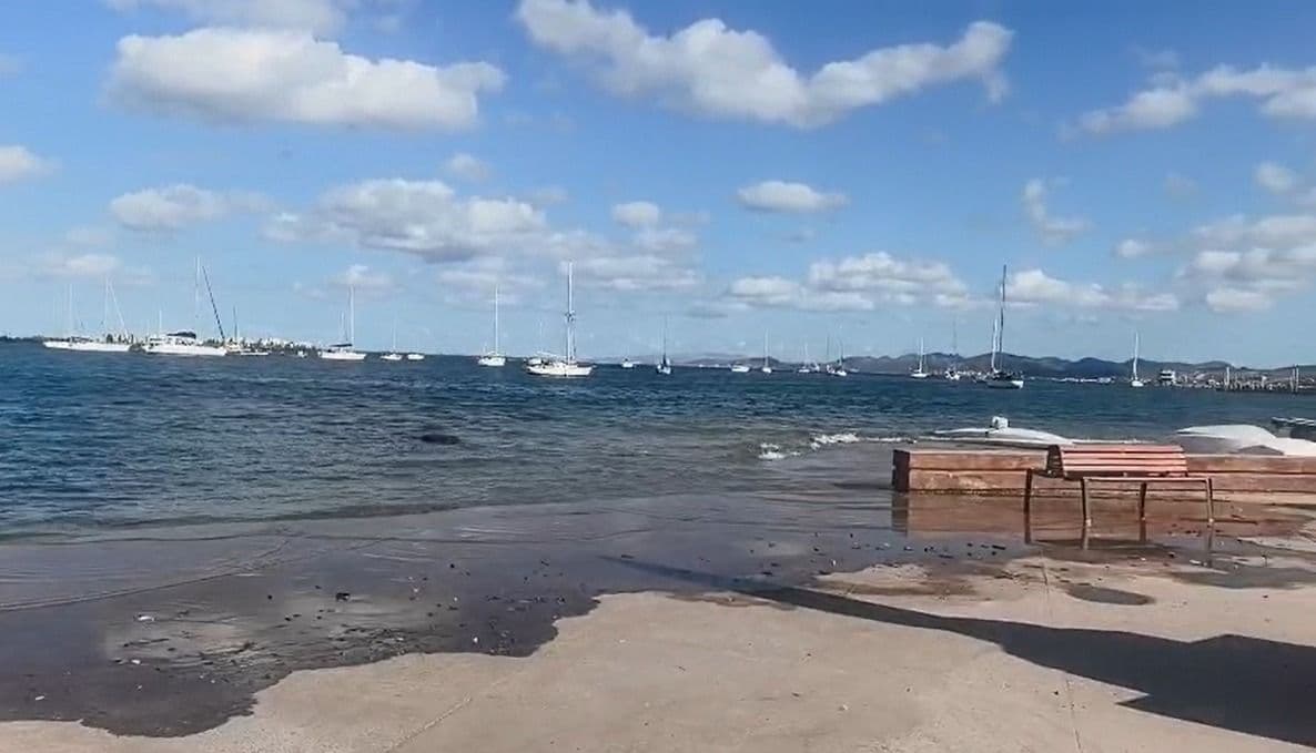
Seawater occupied the boardwalk, streets, roads and inhabited areas of Baja California Sur that were usually out of reach. The floods recorded in La Paz, including damage to coastal sectors such as El Conchalito, have highlighted the vulnerability of low-lying populations to a phenomenon that is not explained solely by tides.
Behind the advance of water there is a combination of natural and climatic factors: high tides, the temporary rise in sea level associated with El Niño, ocean warming and weather conditions that can intensify floods.
For Alejandro Ramos Rodríguez, research professor in the Academic Department of Marine and Coastal Sciences of the Autonomous University of Baja California Sur (UABCS), what happened represents an opportunity to identify risk areas and anticipate scenarios that could be repeated.
The researcher explains that, although high tides are a natural and predictable phenomenon, their coincidence with other processes can considerably raise the water level and spread flooding to urban areas.
“The tides are natural, but they are already giving us scenarios that we must attend to. We have to pay attention to these situations that have occurred during this extraordinary rainy season and the El Niño phenomenon. We are facing an extraordinary year that already allows us to visualize where we are going, at least in the near future, says the researcher.
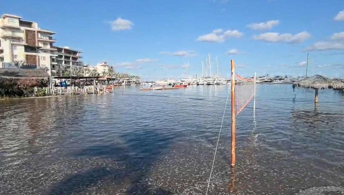
Why is the sea flooding areas of Baja California Sur?
The researcher details that recent floods respond to the coincidence of several factors that increase the water level off the coast.
The first, he says, are living tides, which occur during the phases of the full Moon and new Moon, when the alignment of the Sun, Earth and Moon intensifies the gravitational effects on the oceans. During certain times of the year, these tides can reach particularly high levels.
The second factor is El Niño. According to Ramos Rodríguez, this phenomenon may temporarily raise sea levels in the Eastern Pacific and the Gulf of California. The researcher recalls that during the 1997-1998 episode, increases of between 25 and 30 centimeters were recorded, according to satellite measurements.
“Until now, the record was held by El Niño from 1997-1998, but this one seems to be much more intense. During the 1997-1998 event, we recorded, using satellite altimetry, increases of between 25 and 30 centimeters in sea level. In this episode we are around that figure, maybe a few centimeters more or a few centimeters less,” he explains.
Added to this is the warming of the ocean. When water increases its temperature, it expands, a process known as thermal expansion. The melting of continental ice also contributes to global sea level rise.
The researcher adds that winds and storms can push water towards the coast and raise its level even higher. If these factors coincide with a high tide, floods can reach a greater extent.
“We have high tides, an increase in sea level due to El Niño, more effects of climate change that we are observing and meteorological factors,” says the researcher.
The combination of these processes helps to understand why some coastal areas can be flooded even without a storm directly above them.
You may also like: The richest pollute more, but communities face the consequences of the climate crisis: Oxfam
El Conchalito and other low-lying areas, among vulnerable areas
For Alejandro Ramos, the location of human settlements is another determining factor in understanding risk.
In this regard, he warns that different towns in Baja California Sur, including La Paz, San Carlos, Puerto Adolfo López Mateos and Los Cabos, have urbanized areas on low-lying land, where variations in sea level can affect them.
In La Paz, it identifies as sectors that require attention the Malecón, Chametla, El Centenario and Comitán. He also mentions El Conchalito, an area historically linked to mangrove ecosystems and where floods have occurred.
“The problem is not limited to water entering streets or houses. It can also compromise roads, infrastructure and economic activities that depend on the coastal strip,” he says.
It also says that the effects may extend to fishing and other marine uses, in addition to altering the conditions of coastal ecosystems.
The specialist stresses that low-lying areas are particularly susceptible and that it is necessary to know how water would behave under different scenarios to establish prevention measures. “We know that low-lying areas are the first to be flooded.”
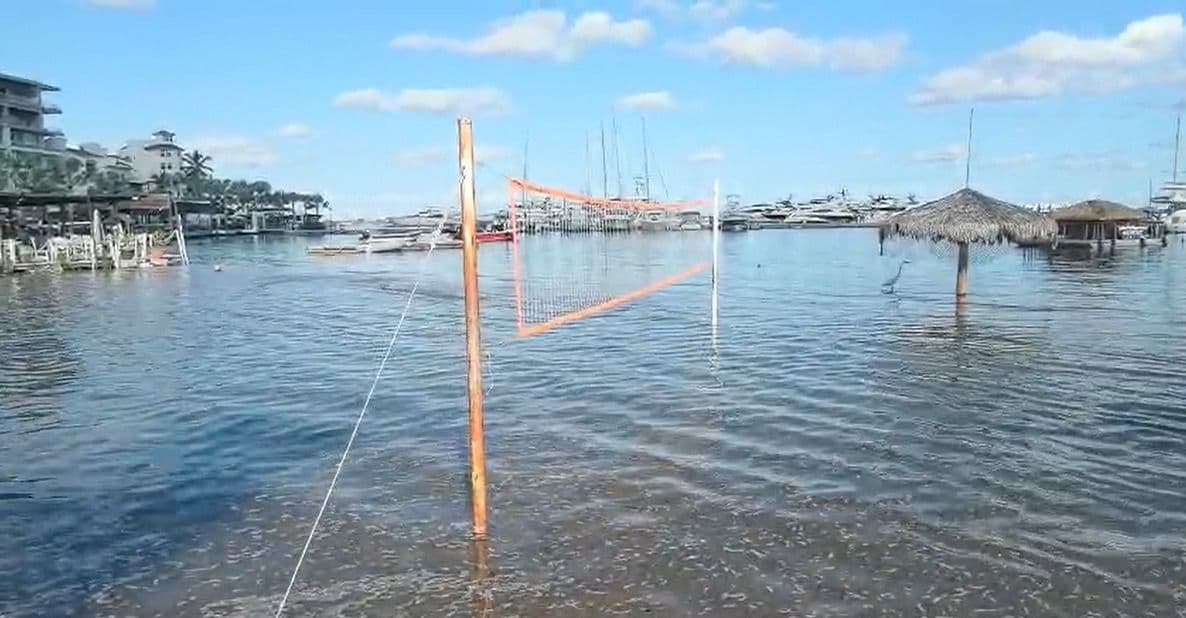
Mangroves, natural barriers to the advance of water
Mangrove conservation is part of the response to coastal risk.
These ecosystems can reduce wave energy, cushion certain effects of storms and help protect areas behind them. Its vegetation and roots also help to retain sediment and maintain the stability of coastal environments.
However, Ramos Rodríguez says that the elimination of mangroves and the transformation of the spaces they occupied reduce part of that natural protection.
The case of El Conchalito is relevant to understanding this relationship between urbanization and vulnerability. The researcher comments that the area naturally corresponded to a mangrove environment and warned that the occupation of low-lying areas must be evaluated considering the processes that occur in them.
The loss of these natural barriers, combined with construction on land susceptible to flooding, can increase the exposure of coastal communities.
They prepare simulations to identify flood zones
Faced with recent episodes, researchers from the UABCS began working on simulations to identify areas that could be left underwater in different scenarios.
Ramos Rodríguez reveals that the team uses digital models of land surface elevation, based on information obtained using satellite sensors, to represent the relief and estimate how far a flood could extend.
Variations in sea level and tidal conditions are incorporated into these models. The analysis must also consider terrain connectivity, that is, the routes through which water could advance through streams, estuaries and other areas connected to the coast.
The objective is to generate maps that identify the sectors with the greatest exposure and provide information for urban planning, civil protection and infrastructure design.
During the interview, the researcher indicates that the team expected to make progress in the simulation exercises over the following days. However, the results are still under development, so he did not present a definitive map of the potentially floodable areas.
Having this information would make it possible to move from the reaction to floods to a preventive strategy, with differentiated measures depending on the characteristics and level of exposure of each area.
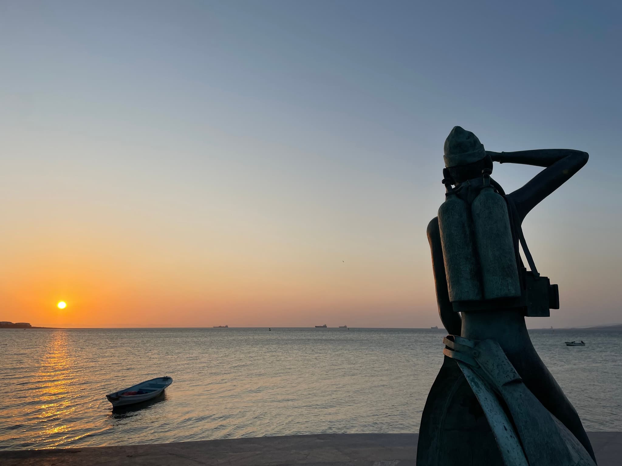
Building on the waterfront requires considering new risk scenarios
The rise in sea level also raises questions about real estate and tourism development in the coastal strip of Baja California Sur.
For Ramos Rodríguez, flood scenarios must be considered when authorizing new construction and when reviewing existing infrastructure. This involves identifying exposed areas, establishing buffer areas and evaluating engineering measures that could reduce damage.
The researcher points out the importance of reviewing land use and regulations applicable to coastal land.
The delimitation of the federal maritime-terrestrial zone, he explains, is one of the elements that must be analyzed together with tidal dynamics and possible flood scenarios. The legal reference to high tide does not replace the need to evaluate other risks, such as storm surges and changes in sea level.
In areas where hotels, housing and infrastructure already exist, adaptation represents an additional challenge. However, knowing the exposed areas can help guide decisions about new works, modifications to buildings and protective measures.
The researcher insists that the response must involve specialists, authorities and communities, through collaboration between academia, civil protection areas and those responsible for urban planning.
Don't miss: El Niño could increase hunger for 50 million people, UN warns
The risk does not end with the current tides
Although recent floods are associated with extraordinary conditions, Ramos Rodríguez points out that the phenomenon could reoccur during future episodes of El Niño and other events that raise sea levels.
The researcher recalls that in 2023 there were also floods on the La Paz waterfront, during another episode of El Niño, although with different characteristics.
The difference between a typical tide and a coastal flood lies in the sum of factors that can raise water above expected levels. Therefore, knowing tide forecasts is useful, but not sufficient to determine flood risk on its own.
Ramos Rodríguez also points out that changes in ocean conditions can have consequences for marine productivity and for groups of organisms that inhabit these ecosystems. In the interview, he mentions effects that he considers necessary to continue monitoring, particularly among invertebrates.
The need for adaptation, therefore, is not limited to protecting streets and homes: it also involves conserving the ecosystems that support marine life and the economic activities of coastal communities.
Forecasting tides, a tool for anticipating tides
As part of the outreach efforts, the UABCS made available a tidal forecast platform for different locations in Baja California Sur.
The tool is available at mareas.uabc.mx and allows you to check forecasts by location, date and moon phase.
Ramos Rodríguez explains that the forecasts provide a reference for knowing the expected tide levels, although they must be interpreted considering other factors that can modify the water level, such as El Niño, ocean warming and weather conditions.
The researcher recommends using scientific information to anticipate possible impacts and strengthen coordination between authorities, specialists and residents.
Recent floods have shown that the South California coast is exposed to a combination of natural processes and environmental changes that cannot be addressed in isolation.


Comentarios (0)