
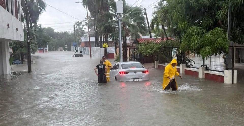
Three cars were swept into the sea by rain in San José del Cabo, which last Friday, October 30, received some of the heaviest rainfall in recent years.
The remnants of tropical storm “Vance” left 138 millimeters of water in less than an hour, causing streams to overflow, flooding colonies and damage to health facilities.
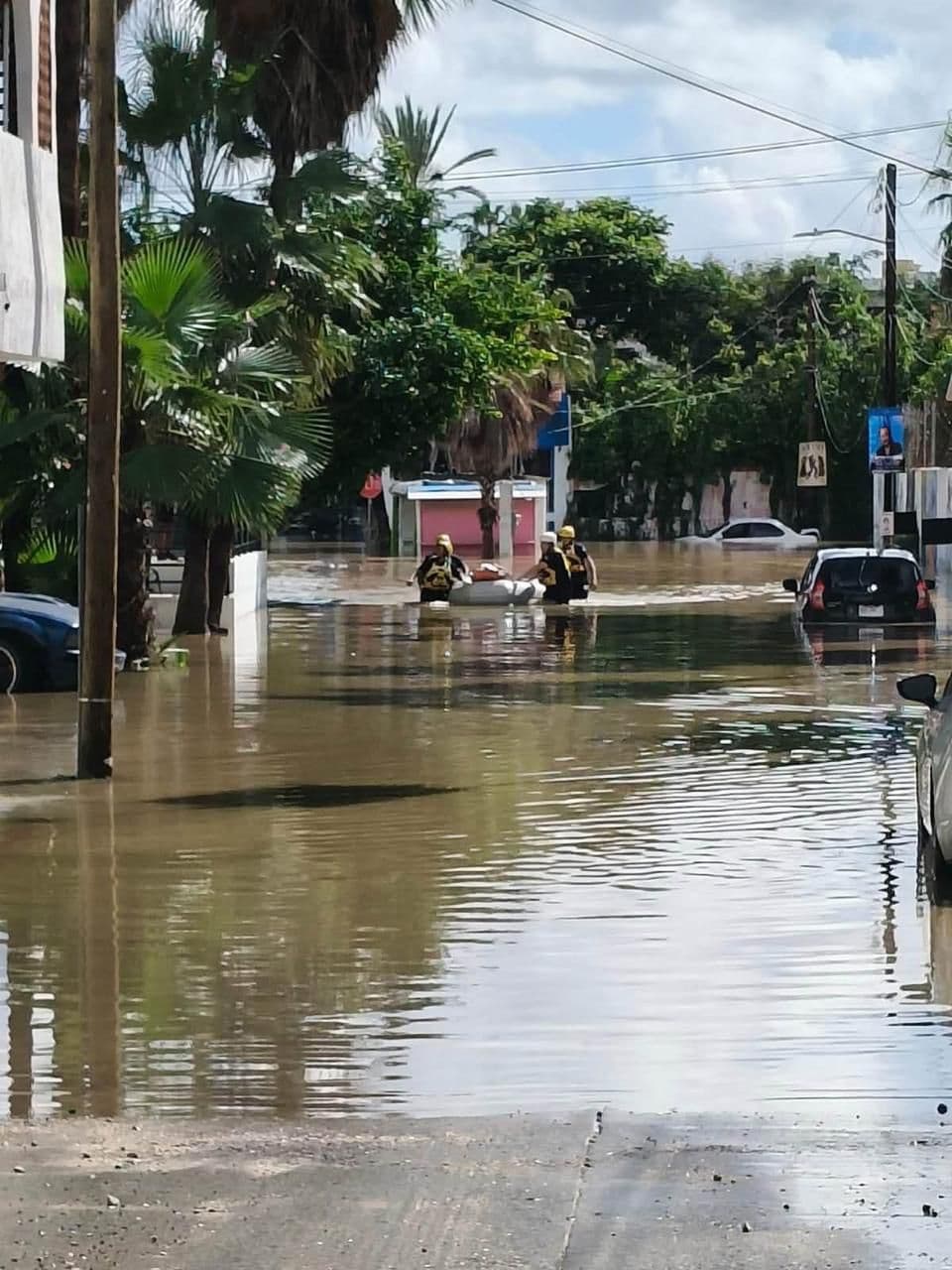
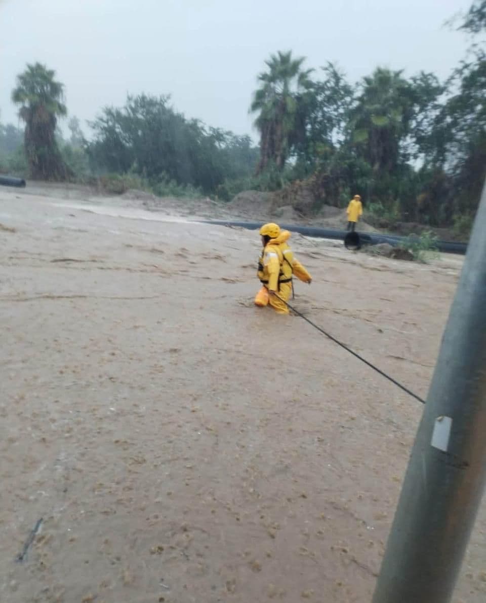
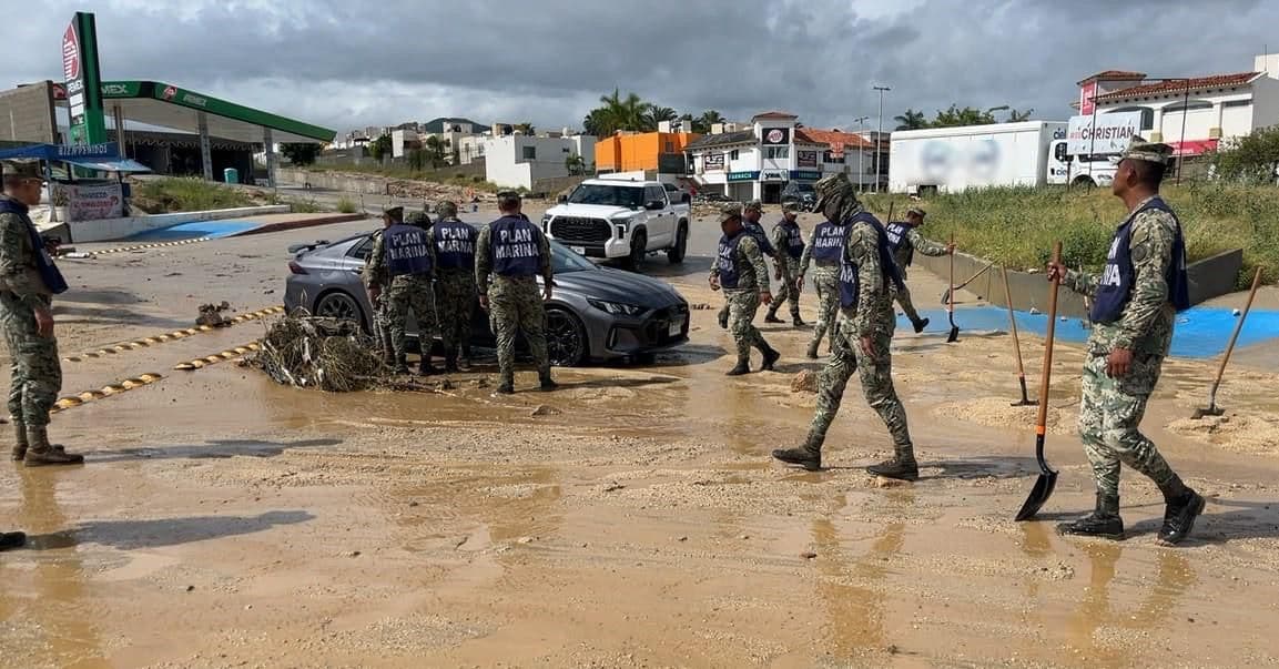
In a matter of minutes, different parts of the city were under water. The Aguajitos, Santa Rosa, Costa Azul and Zacatal streams overflowed, while the currents swept vehicles into the sea in the Costa Azul area.
The emergency also affected the health sector. In downtown San José del Cabo, water entered Family Medicine Unit number 6 of the Mexican Social Security Institute (IMSS), where 356 people were evacuated.
The authorities' balance sheet was 12 people rescued, two in the Los Palos stream and 10 in El Surgidero. While among the most affected neighborhoods were Centro, Costa Azul, San José Viejo, Las Veredas, San Bernabé, Santa Catarina, Luis Donaldo Colosio and Colinas de San José.
Although no fatalities were reported, the floods left material damage and highlighted the risks of an urban infrastructure that faces heavy rainfall in very short periods of time.
Miguel Angel Imaz Lamadrid, head of the Department and specialist in Civil Protection at the Autonomous University of Baja California Sur (UABCS), mentions that what happened should not be analyzed only as an isolated emergency, but as a warning about the challenges that the entity will face in the face of climate change.
Infrastructure designed for an arid climate, not for extreme rainfall
The specialist explains that the urban infrastructure of Baja California Sur was designed considering the conditions of an arid region, where rainfall is usually scarce and concentrated in certain periods. However, changes in weather patterns are putting that planning to the test.
According to Imaz Lamadrid, monsoon convective storms occurred during 2026 that are not necessarily related to the direct impact of a tropical cyclone. This behavior is creating new conditions for which South California cities are not sufficiently prepared, he says.
The researcher comments that even relatively low rainfall can cause significant damage. “It's very visible that with relatively low rainfall such as 10 millimeters, it's enough for a population to collapse.”
The situation, he says, requires a review of construction and urban planning criteria, particularly in municipalities such as Los Cabos, where rains can turn streets and roads into runoff channels.
You may also like: Water reaches the waterfront in La Paz: high tides and warming of the Gulf of California cause coastal flooding
The extraordinary of 2026 could be normal in 10 or 15 years
One of the researcher's main points is that the meteorological conditions observed during this year could anticipate the climatic behavior of the coming decades. “What is happening this year, which we are calling extraordinary, will be normal in 10 or 15 years due to climate change,” he warns.
The projection forces the authorities to stop thinking only about immediate solutions and start designing infrastructure capable of responding to conditions that could arise in the future, he says.
In this regard, the specialist argues that Baja California Sur needs investment that takes into account the new precipitation conditions, the behavior of runoff and the exposure of communities.
The emergency in San José del Cabo on the last weekend of October 2026 showed the consequences of not having enough infrastructure to conduct water during episodes of heavy rain.
More bridges and storm drains to prevent cities from collapsing
Among the most urgent needs, the specialist identifies the construction of bridges on primary and secondary roads and main avenues. Because many roads lack structures that allow the passage of water from streams, so precipitation can interrupt circulation and affect the mobility of communities, he points out. It also points to the lack of storm drainage as a structural problem.
“We don't have a storm drain and rainwater mixes with the water from the sewage drain and that also creates critical health problems.”
Added to this is the need to improve the channeling of the streams, to preserve their beds in natural conditions and to reinforce their walls at points where road infrastructure exists.
The specialist also says that there are colonies settled in risk areas, some of them built on old natural channels.
In such cases, it recognizes that the alternatives are more complex, since at certain points the relocation of the settlements would be the only substantive solution.
The State Risk Atlas identifies vulnerable areas
In 2024, the UABCS presented the Baja California Sur State Risk Atlas, a tool that, according to the researcher, identifies areas that are particularly vulnerable to different disturbing phenomena, including floods, through maps.
Imaz Lamadrid believes that this information should be used to guide urban growth decisions and prevent new buildings from being established in exposed areas.
The document allows us to consult the risks associated with the territory and represents a tool for the population to know the vulnerability of their homes and workplaces.
The researcher invites citizens to consult the Atlas and the university's weather platforms, including meteouabcs, which provide free weather information.
Rising sea levels also threaten coastal communities
The risks are not limited to rain flooding. The specialist also warns about the effects of rising sea levels, tides and storm surges associated with meteorological phenomena.
He explains that the abnormal heating of the ocean can contribute to the increase in its volume and that, coinciding with astronomical tides and storm surges, it can increase flooding in coastal communities. As an example, he mentions San Carlos, where an artisanal board that historically protected the population failed during a flood episode.
Faced with this scenario, he considers it necessary to build a protective wall with adequate engineering, although he recognizes that relocation could be a long-term solution. It also points to the exposure of communities such as Punta Abreojos, La Bocana and Bahía de la Función, where there are houses close to flooded areas.
Remember that during hurricane “Hilary” the water was left centimeters away from some houses in Abreojos and La Bocana, so future phenomena could cause greater damage.
Read: The richest pollute more, but communities face the consequences of the climate crisis: Oxfam
Adapt now to prevent further damage in the future
The rains of October 30 in Los Cabos left a warning about the vulnerability of South California cities to concentrated rainfall over very short periods. For the UABCS specialist, 2026 represents a first warning of conditions that could occur more frequently in the coming years.
“It's time to look to the future, not to look for short-term solutions, but to look for long-term solutions,” he concludes.


Comentarios (0)